
01 · CALIBRATE
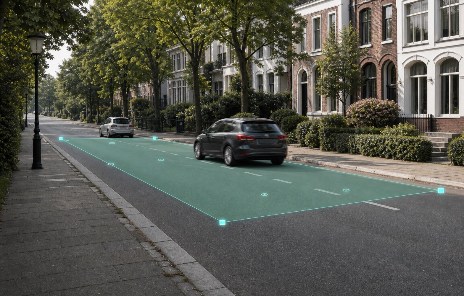
Four points, real geometry
A through D define a spatial road rectangle. LiDAR provides length, width and metric scale.
LiDAR · COMPUTER VISION · ON DEVICE

Vmax check combines LiDAR calibration, calm target/current alignment, and local vehicle detection on iPhone. Plausible partial tracks become transparent speed estimates.
THE CURRENT APP
From route setup and calm target/current alignment to a clearly labelled estimate, the app shows how each result is produced.


THE APP
No rigid light gate: Vmax check uses all plausible vehicle positions within the visible part of the calibrated road section.
01 · CALIBRATE
A through D define a spatial road rectangle. LiDAR provides length, width and metric scale.
02 · ALIGN
A dashed target outline and the yellow live field show how closely the current view matches the saved observation point.
03 · MEASURE
Consistent vehicle positions are combined robustly. Uncertain results remain clearly labelled as estimates with a quality status.
LOG
Speed, direction, partial distance, image points, quality status, and the best vehicle image remain available locally.
PRIVATE
Camera, LiDAR and location data are not sent to a measurement backend for core functionality.
MOBILE
The workflow is designed for a handheld compatible iPhone Pro in portrait orientation.
THREE STEPS
Save its name and local speed limit.
Save the future camera position with the road and distinctive surroundings.
Walk from A to B on the right, cross only when safe, then return from C to D on the left. The profile can then be reused.
Vmax check is not calibrated or approved for official or legally binding speed measurements. Never configure or operate the app while standing in moving traffic.